Hunting Tactics & Planning Service
This service helps hunters or landowners develop a strategy for their hunting season by analyzing many factors before they hunt to minimize wasted time and maximize harvest opportunities.
I show you how I develop a strategy to hunt a property throughout the year. I will also show you how I use scouting, observation, weather, and habitat features to determine where and when I will hunt throughout the year.

What my process looks like:
I start with a phone call to get acquainted with you and hear about your hunting experiences to determine how I can best help you.
During our phone call, I ask you to share the property's location so we can look at a digital map of the property you are hunting. You can share the area with me via OnX and then we can use Google Meet to discuss the property on a video chat.
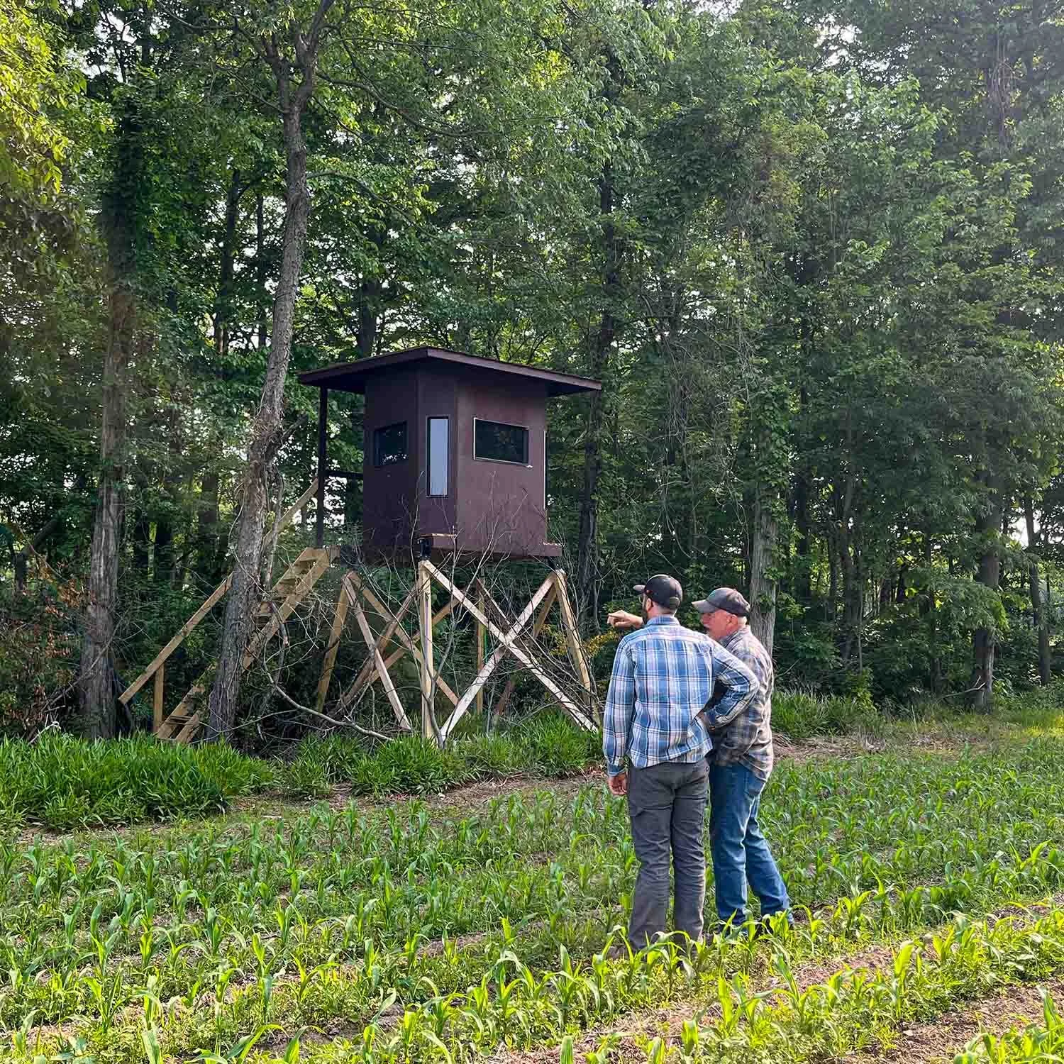
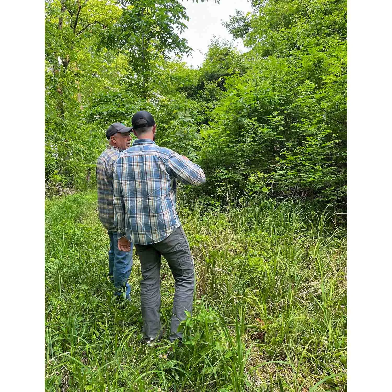
Next, we schedule a time to walk your property in person so I can understand the habitat, your current hunting strategies, and how deer are using the property.
After I assess the property and take notes, I will have a second call or visit with you to review key stand locations on your digital map. I will discuss where, when, and how I would recommend hunting those spots. I also share all the documents and tools I use to plan my hunts.
Pricing
Low estimate: $264
High estimate: $493
Here’s some other info we’ll cover
How to use scouting information, observational information, and aerial maps to develop a hunting plan.
How to factor weather and wind forecasts into your decision-making process.
How to plan which stands to hunt in the mornings or evenings based on the season you are hunting.
Understanding hunting pressure on the property you’re hunting and how deer react to this pressure.
Understanding seasonal hunting challenges and habitat changes and how to plan for them (Early Season, PreRut, RUT, Late Season)
Habitat features worth taking into consideration when planning your hunts. This includes bedding areas, travel areas, and food sources.
Important Notes
Anytime I review aerial maps, I use OnX maps. You will need to have this app downloaded before our conversation so I can share pins, information, and findings with you. OnX’s subscription fee is roughly $34 per year. I highly recommend this app because it is extremely valuable for mapping, seeing boundaries, notetaking, and remembering information.
This service is not just for landowners, it’s also for hunters who are looking for better results.